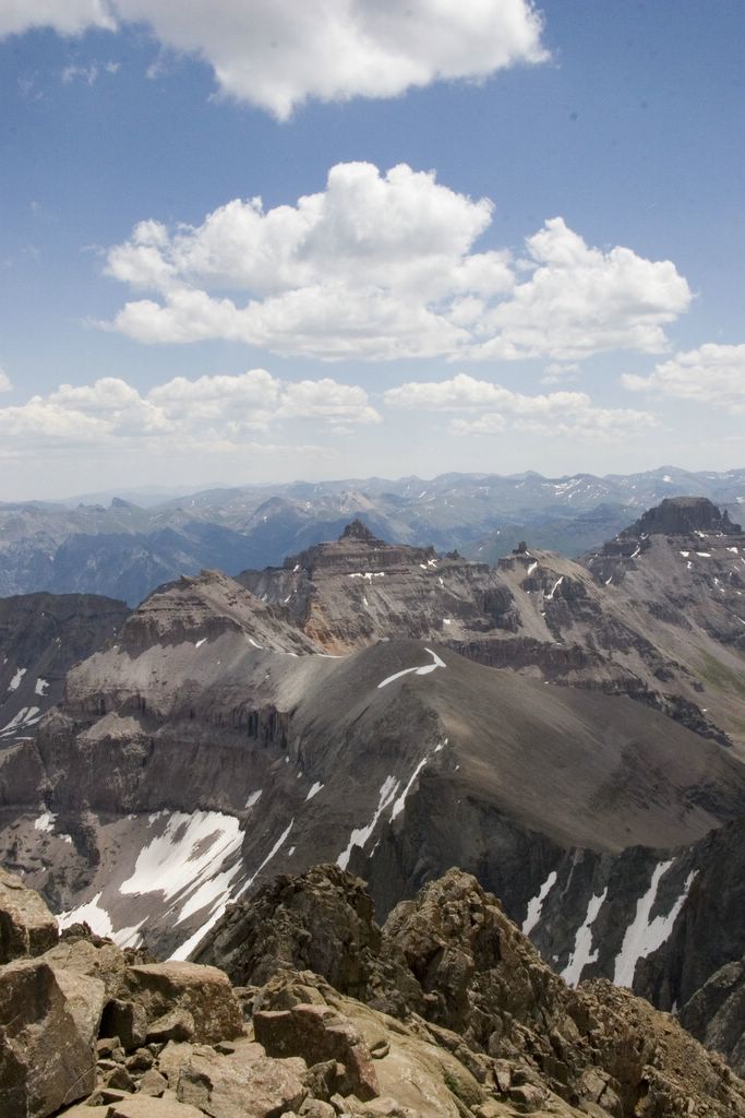
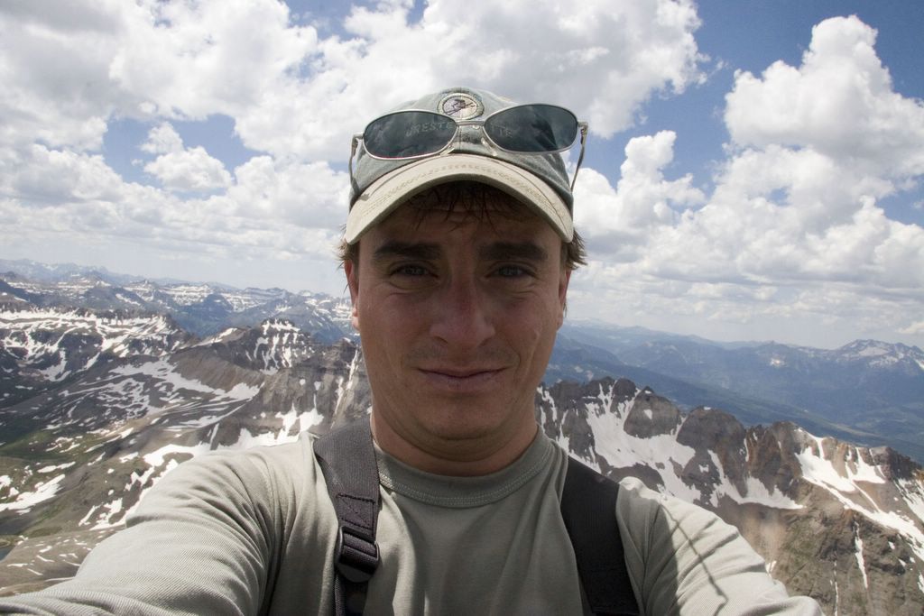
I spied my "planned" route from the top of Mount Sneffels. Pictured is the top of Govenor's basin. My "planned" route was to go thru the lowest part of the ridge (notch). Yeah right, I am not sure I would even be comfortable with out the snow.
At this point, I made up my mind to do an alternate route (longer) but better planned up Imogene Pass. Actually if you look over top the notch, this is Savage basin and Imogene Pass. I had to go down a lot before I started back up.