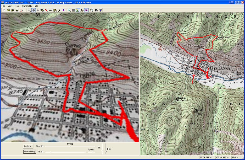

 As many of you know, I am trying to hike the Jud Wiebe Trail once every month. Today was my December entry.
 I brought along my new GPS (Garmin eTrex Vista C) so I could gps stamp my photos.
I then downloaded and purchased RoboGEO to write the latitude, longitude and altitude to the image's EXIF headers. In otherwords stamp the GPS coordinates into the image itself.
I added descriptions and keywords using Adobe Bridge to the images I liked.
I then uploaded the images to my Blog Gallery on Smugmug.
Here is the really COOL part. Since the images have been stamped with GPS info, you can "map this" and it will create a Google Map with the photos. Note, you will probably have to zoom out a bit, because Google does not have images for the area. Cool ...
No comments:
Post a Comment